George Gay Gardens Demolition
Introduction
The photograph on this page of George Gay Gardens Demolition by Lily as part of the Geograph project.
The Geograph project started in 2005 with the aim of publishing, organising and preserving representative images for every square kilometre of Great Britain, Ireland and the Isle of Man.

There are currently over 7.5m images from over 14,400 individuals and you can help contribute to the project by visiting https://www.geograph.org.uk
George Gay Gardens Demolition
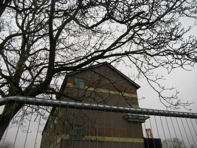
Image: © Lily Taken: 8 Apr 2019
They were starting to demolish the other block; you can see the crane in the distance. This view isn't possible now, since it's all been demolished.
Images are licensed for reuse under creativecommons.org/licenses/by-sa/2.0
Image Location
Latitude
51.550957
Longitude
-1.75685