The River Fal, Philleigh
Introduction
The photograph on this page of The River Fal, Philleigh by Andrew Smith as part of the Geograph project.
The Geograph project started in 2005 with the aim of publishing, organising and preserving representative images for every square kilometre of Great Britain, Ireland and the Isle of Man.

There are currently over 7.5m images from over 14,400 individuals and you can help contribute to the project by visiting https://www.geograph.org.uk
The River Fal, Philleigh
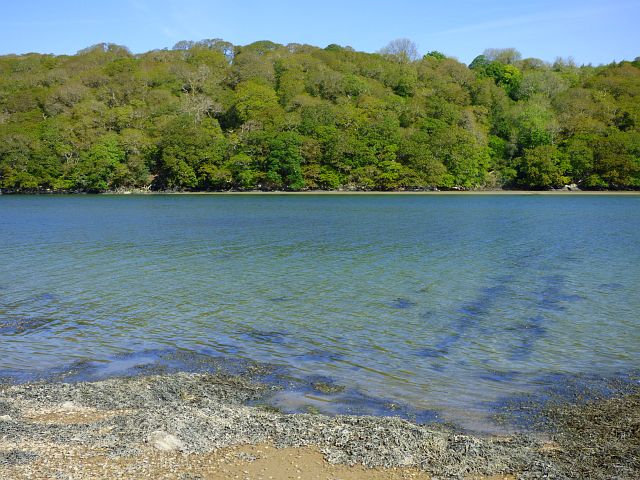
Image: © Andrew Smith Taken: 12 May 2019
Looking across the tidal river to woodland below St Michael Penkevil.
Images are licensed for reuse under creativecommons.org/licenses/by-sa/2.0
Image Location
Latitude
50.22659
Longitude
-4.991286