Capel Libanus, Rhuallt
Introduction
The photograph on this page of Capel Libanus, Rhuallt by Mark Anderson as part of the Geograph project.
The Geograph project started in 2005 with the aim of publishing, organising and preserving representative images for every square kilometre of Great Britain, Ireland and the Isle of Man.

There are currently over 7.5m images from over 14,400 individuals and you can help contribute to the project by visiting https://www.geograph.org.uk
Capel Libanus, Rhuallt
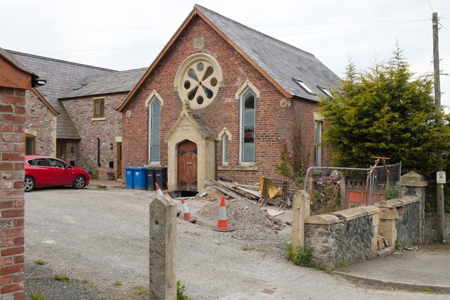
Image: © Mark Anderson Taken: 5 May 2019
A reverse view of Image which was taken 3 months ago.
Images are licensed for reuse under creativecommons.org/licenses/by-sa/2.0
Image Location
Latitude
53.264523
Longitude
-3.389024