View towards the Howgills
Introduction
The photograph on this page of View towards the Howgills by Gordon Hatton as part of the Geograph project.
The Geograph project started in 2005 with the aim of publishing, organising and preserving representative images for every square kilometre of Great Britain, Ireland and the Isle of Man.

There are currently over 7.5m images from over 14,400 individuals and you can help contribute to the project by visiting https://www.geograph.org.uk
View towards the Howgills
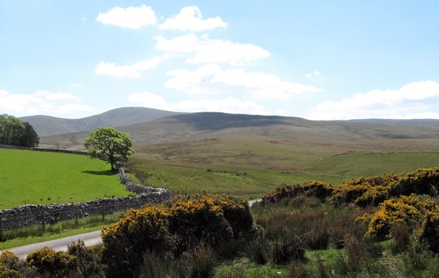
Image: © Gordon Hatton Taken: 16 May 2019
The view is towards the south from the edge of agricultural land on carboniferous limestone towards the much rougher ground of the Silurian grits and shales of the Howgills. The rounded peak in the distance is Green Bell [605m]
Images are licensed for reuse under creativecommons.org/licenses/by-sa/2.0
Image Location
Latitude
54.433525
Longitude
-2.456584