Path in Blairadam Forest on south side of Lochornle Burn
Introduction
The photograph on this page of Path in Blairadam Forest on south side of Lochornle Burn by Trevor Littlewood as part of the Geograph project.
The Geograph project started in 2005 with the aim of publishing, organising and preserving representative images for every square kilometre of Great Britain, Ireland and the Isle of Man.

There are currently over 7.5m images from over 14,400 individuals and you can help contribute to the project by visiting https://www.geograph.org.uk
Path in Blairadam Forest on south side of Lochornle Burn
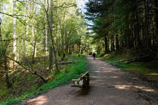
Image: © Trevor Littlewood Taken: 15 May 2019
The broad path is in use as a waymarked walking trail of the Blairadam Forest: the yellow one. The route has just crossed a bridge over the burn which lies below to the left. A short distance to the east it will merge with the Pieries Burn to form the Kelty Burn.
Images are licensed for reuse under creativecommons.org/licenses/by-sa/2.0
Image Location
Latitude
56.138018
Longitude
-3.419081