Path to the Old Rectory and Church Lane
Introduction
The photograph on this page of Path to the Old Rectory and Church Lane by Neil Owen as part of the Geograph project.
The Geograph project started in 2005 with the aim of publishing, organising and preserving representative images for every square kilometre of Great Britain, Ireland and the Isle of Man.

There are currently over 7.5m images from over 14,400 individuals and you can help contribute to the project by visiting https://www.geograph.org.uk
Path to the Old Rectory and Church Lane
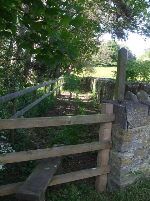
Image: © Neil Owen Taken: 13 May 2019
A path covered with pine needles and cones from the woodland.
Images are licensed for reuse under creativecommons.org/licenses/by-sa/2.0
Image Location
Latitude
51.596277
Longitude
-2.401723