Wickwar village hall
Introduction
The photograph on this page of Wickwar village hall by Neil Owen as part of the Geograph project.
The Geograph project started in 2005 with the aim of publishing, organising and preserving representative images for every square kilometre of Great Britain, Ireland and the Isle of Man.

There are currently over 7.5m images from over 14,400 individuals and you can help contribute to the project by visiting https://www.geograph.org.uk
Wickwar village hall
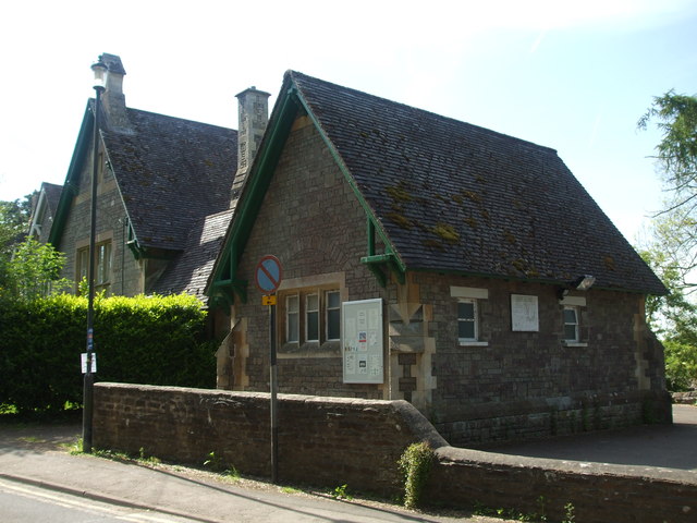
Image: © Neil Owen Taken: 13 May 2019
The village hall occupies what was originally the National Girls' School of 1860.
Images are licensed for reuse under creativecommons.org/licenses/by-sa/2.0
Image Location
Latitude
51.59664
Longitude
-2.400716