Lake, Millbrook
Introduction
The photograph on this page of Lake, Millbrook by Derek Harper as part of the Geograph project.
The Geograph project started in 2005 with the aim of publishing, organising and preserving representative images for every square kilometre of Great Britain, Ireland and the Isle of Man.

There are currently over 7.5m images from over 14,400 individuals and you can help contribute to the project by visiting https://www.geograph.org.uk
Lake, Millbrook
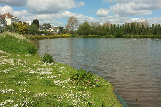
Image: © Derek Harper Taken: 11 May 2019
"The Lake was created when the tidal creek was dammed in 1981, following regular flooding of the village in the 1970’s ... a sluice in the dam prevents the lake from over filling" http://www.millbrook-pc.gov.uk/village-amenities/lake-park/ .
Images are licensed for reuse under creativecommons.org/licenses/by-sa/2.0
Image Location
Latitude
50.350223
Longitude
-4.214753