Chris Hoy Cycle Way
Introduction
The photograph on this page of Chris Hoy Cycle Way by Raibeart MacAoidh as part of the Geograph project.
The Geograph project started in 2005 with the aim of publishing, organising and preserving representative images for every square kilometre of Great Britain, Ireland and the Isle of Man.

There are currently over 7.5m images from over 14,400 individuals and you can help contribute to the project by visiting https://www.geograph.org.uk
Chris Hoy Cycle Way
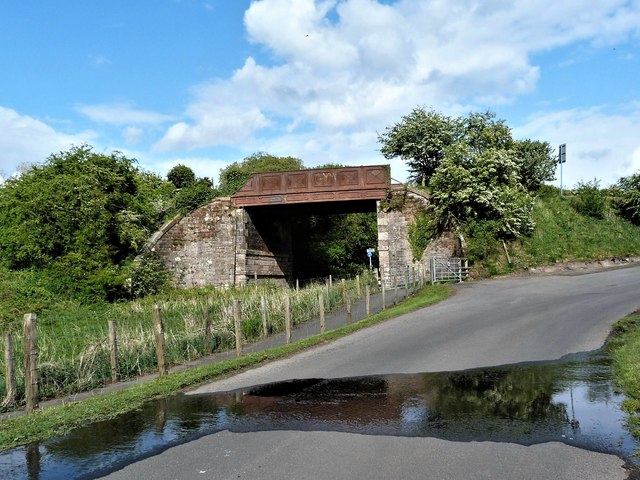
Image: © Raibeart MacAoidh Taken: 10 May 2019
The Chris Hoy Cycle Way at Low Ashyard between Galston and Hurlford.
Images are licensed for reuse under creativecommons.org/licenses/by-sa/2.0
Image Location
Latitude
55.594716
Longitude
-4.423403