Llwybr ceffyl Gellihen / Gellihen bridleway
Introduction
The photograph on this page of Llwybr ceffyl Gellihen / Gellihen bridleway by Alan Richards as part of the Geograph project.
The Geograph project started in 2005 with the aim of publishing, organising and preserving representative images for every square kilometre of Great Britain, Ireland and the Isle of Man.

There are currently over 7.5m images from over 14,400 individuals and you can help contribute to the project by visiting https://www.geograph.org.uk
Llwybr ceffyl Gellihen / Gellihen bridleway
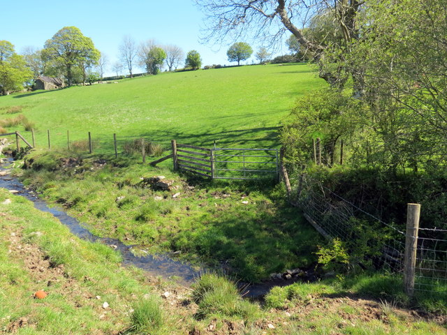
Image: © Alan Richards Taken: 12 May 2019
Llwybr ceffyl yn croesi yr ifanc Afon Clettwr Fach wrth agosau at Ffarm Gellihen. A bridleway crossing the infant Afon Clettwr Fach as it approaches Gellihen Farm (trans. old grove).
Images are licensed for reuse under creativecommons.org/licenses/by-sa/2.0
Image Location


Leaflet Map data © OpenStreetMap
Latitude
52.129334
Longitude
-4.282639