Perth Western Edge
Introduction
The photograph on this page of Perth Western Edge by Lis Burke as part of the Geograph project.
The Geograph project started in 2005 with the aim of publishing, organising and preserving representative images for every square kilometre of Great Britain, Ireland and the Isle of Man.

There are currently over 7.5m images from over 14,400 individuals and you can help contribute to the project by visiting https://www.geograph.org.uk
Perth Western Edge
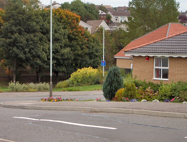
Image: © Lis Burke Taken: 5 Oct 2005
The site of most recent residential development in Perth. The line of trees (just starting to show autumn colour) marks the boundary between two separate phases of development a few decades apart.
Images are licensed for reuse under creativecommons.org/licenses/by-sa/2.0
Image Location
Latitude
56.389442
Longitude
-3.486898