Laurencekirk parish kirk
Introduction
The photograph on this page of Laurencekirk parish kirk by Bill Harrison as part of the Geograph project.
The Geograph project started in 2005 with the aim of publishing, organising and preserving representative images for every square kilometre of Great Britain, Ireland and the Isle of Man.

There are currently over 7.5m images from over 14,400 individuals and you can help contribute to the project by visiting https://www.geograph.org.uk
Laurencekirk parish kirk
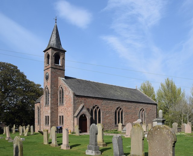
Image: © Bill Harrison Taken: 21 Apr 2019
Dating from 1804 with early Gothic revival tracery and B-listed (LB37229): http://portal.historicenvironment.scot/designation/LB37229 . Compare Echt parish kirk from the same year: https://www.geograph.org.uk/photo/4631372 .
Images are licensed for reuse under creativecommons.org/licenses/by-sa/2.0
Image Location
Latitude
56.835096
Longitude
-2.463779