End of the Brockley Footpath
Introduction
The photograph on this page of End of the Brockley Footpath by David Wright as part of the Geograph project.
The Geograph project started in 2005 with the aim of publishing, organising and preserving representative images for every square kilometre of Great Britain, Ireland and the Isle of Man.

There are currently over 7.5m images from over 14,400 individuals and you can help contribute to the project by visiting https://www.geograph.org.uk
End of the Brockley Footpath
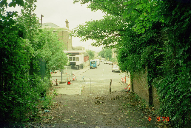
Image: © David Wright Taken: 6 Sep 1998
This is the point where the Brockley footpath joins with Linden Grove (transverse road) picture taken looking approx. NW.
Images are licensed for reuse under creativecommons.org/licenses/by-sa/2.0
Image Location


Leaflet Map data © OpenStreetMap
Latitude
51.462357
Longitude
-0.056638