View from Lon Letty, Llandysul
Introduction
The photograph on this page of View from Lon Letty, Llandysul by Humphrey Bolton as part of the Geograph project.
The Geograph project started in 2005 with the aim of publishing, organising and preserving representative images for every square kilometre of Great Britain, Ireland and the Isle of Man.

There are currently over 7.5m images from over 14,400 individuals and you can help contribute to the project by visiting https://www.geograph.org.uk
View from Lon Letty, Llandysul
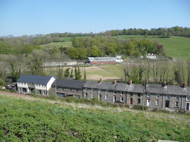
Image: © Humphrey Bolton Taken: 21 Apr 2019
The row of houses is on Church Street, and the view is from what was a lane but is now a wide road linking the top of High Street with Church Street.
Images are licensed for reuse under creativecommons.org/licenses/by-sa/2.0
Image Location
Latitude
52.044064
Longitude
-4.306873