The Lower City Mills, Perth
Introduction
The photograph on this page of The Lower City Mills, Perth by Chris Andrews as part of the Geograph project.
The Geograph project started in 2005 with the aim of publishing, organising and preserving representative images for every square kilometre of Great Britain, Ireland and the Isle of Man.

There are currently over 7.5m images from over 14,400 individuals and you can help contribute to the project by visiting https://www.geograph.org.uk
The Lower City Mills, Perth
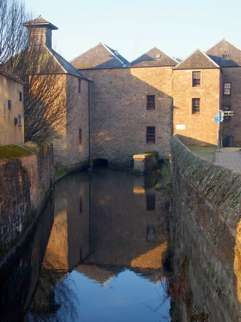
Image: © Chris Andrews Taken: 27 Feb 2019
The mills were once grain mills using water power from the Town's Lade, a waterway constructed to connect to the River Almond.
Images are licensed for reuse under creativecommons.org/licenses/by-sa/2.0
Image Location
Latitude
56.397326
Longitude
-3.435521