Rhyd Crynfe
Introduction
The photograph on this page of Rhyd Crynfe by John Walton as part of the Geograph project.
The Geograph project started in 2005 with the aim of publishing, organising and preserving representative images for every square kilometre of Great Britain, Ireland and the Isle of Man.

There are currently over 7.5m images from over 14,400 individuals and you can help contribute to the project by visiting https://www.geograph.org.uk
Rhyd Crynfe
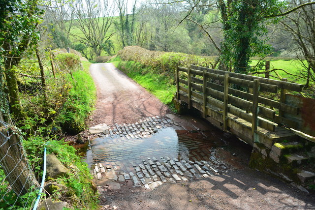
Image: © John Walton Taken: 18 Apr 2019
This ford on Nant Crynfe is found beside the sheep dip below the farm at Coed-mawr. A video of the ford can be viewed at: https://youtu.be/UieIvwOQdW4
Images are licensed for reuse under creativecommons.org/licenses/by-sa/2.0
Image Location
Latitude
51.905481
Longitude
-3.826268