Footpath to Burton
Introduction
The photograph on this page of Footpath to Burton by Derek Harper as part of the Geograph project.
The Geograph project started in 2005 with the aim of publishing, organising and preserving representative images for every square kilometre of Great Britain, Ireland and the Isle of Man.

There are currently over 7.5m images from over 14,400 individuals and you can help contribute to the project by visiting https://www.geograph.org.uk
Footpath to Burton
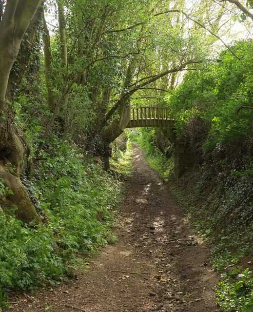
Image: © Derek Harper Taken: 27 Apr 2019
From a corner on Longlands Lane. This is footpath 40UD044 Y 9/46, although an adjacent notice explains that an application has been made to have it classified as a bridleway. The footbridge seems to connect North Coker Park to the grounds of Longlands.
Images are licensed for reuse under creativecommons.org/licenses/by-sa/2.0
Image Location
Latitude
50.920188
Longitude
-2.657068