Church Street
Introduction
The photograph on this page of Church Street by Gerald England as part of the Geograph project.
The Geograph project started in 2005 with the aim of publishing, organising and preserving representative images for every square kilometre of Great Britain, Ireland and the Isle of Man.

There are currently over 7.5m images from over 14,400 individuals and you can help contribute to the project by visiting https://www.geograph.org.uk
Church Street
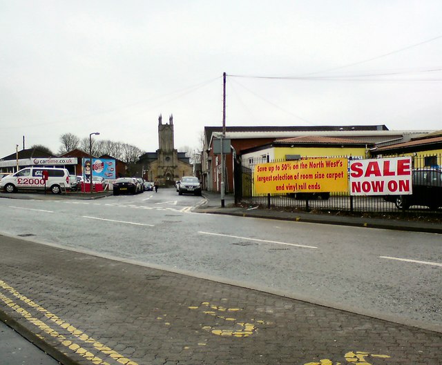
Image: © Gerald England Taken: 19 Jan 2019
Off Bell Lane, leading to the Grade II listed https://historicengland.org.uk/listing/the-list/list-entry/1163874 St Paul's Church. The church was built in 1838–42, and designed by John Harper of York. The land for the church was given by the 13th Earl of Derby. On 1 November 1995 the church was declared redundant. It was damaged by fire in 2004, and has since been converted for residential use.
Images are licensed for reuse under creativecommons.org/licenses/by-sa/2.0
Image Location
Latitude
53.596135
Longitude
-2.283866