Pound Lane
Introduction
The photograph on this page of Pound Lane by Derek Harper as part of the Geograph project.
The Geograph project started in 2005 with the aim of publishing, organising and preserving representative images for every square kilometre of Great Britain, Ireland and the Isle of Man.

There are currently over 7.5m images from over 14,400 individuals and you can help contribute to the project by visiting https://www.geograph.org.uk
Pound Lane
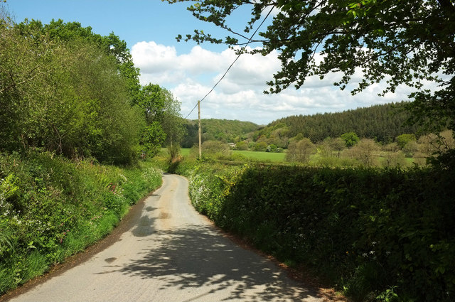
Image: © Derek Harper Taken: 4 May 2019
A lane descending from High Bickington reaches the last stretch before meeting the A377. The building visible across the valley floor is the old millhouse as Brightley.
Images are licensed for reuse under creativecommons.org/licenses/by-sa/2.0
Image Location
Latitude
50.979266
Longitude
-3.979578