Churchyard, South Petherton
Introduction
The photograph on this page of Churchyard, South Petherton by Derek Harper as part of the Geograph project.
The Geograph project started in 2005 with the aim of publishing, organising and preserving representative images for every square kilometre of Great Britain, Ireland and the Isle of Man.

There are currently over 7.5m images from over 14,400 individuals and you can help contribute to the project by visiting https://www.geograph.org.uk
Churchyard, South Petherton
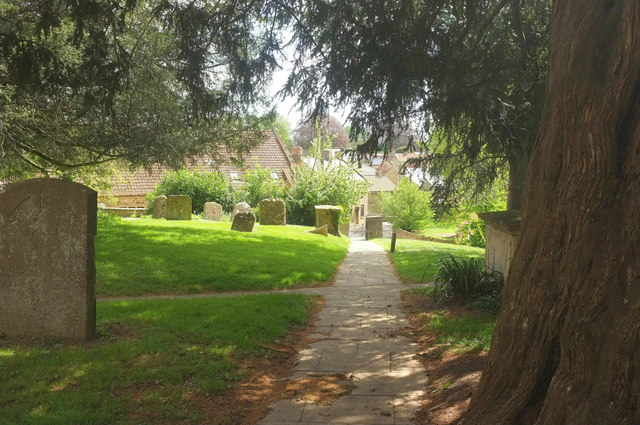
Image: © Derek Harper Taken: 27 Apr 2019
The churchyard of St Peter and St Paul's church, looking down a path that leads onto Hele Lane past the monuments shown in Image
Images are licensed for reuse under creativecommons.org/licenses/by-sa/2.0
Image Location
Latitude
50.948008
Longitude
-2.809207