Eastern End of the Bealach na B? Road
Introduction
The photograph on this page of Eastern End of the Bealach na B? Road by G Laird as part of the Geograph project.
The Geograph project started in 2005 with the aim of publishing, organising and preserving representative images for every square kilometre of Great Britain, Ireland and the Isle of Man.

There are currently over 7.5m images from over 14,400 individuals and you can help contribute to the project by visiting https://www.geograph.org.uk
Eastern End of the Bealach na B? Road
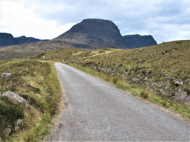
Image: © G Laird Taken: 30 Apr 2019
The point where you begin to realise the steepness of the road ahead, the third highest road in Scotland. The imposing profile of Sgùrr a'Chaorachain is prominent in the background.
Images are licensed for reuse under creativecommons.org/licenses/by-sa/2.0
Image Location
Latitude
57.408232
Longitude
-5.623991