Fife Core Path, Upper Largo
Introduction
The photograph on this page of Fife Core Path, Upper Largo by Bill Kasman as part of the Geograph project.
The Geograph project started in 2005 with the aim of publishing, organising and preserving representative images for every square kilometre of Great Britain, Ireland and the Isle of Man.

There are currently over 7.5m images from over 14,400 individuals and you can help contribute to the project by visiting https://www.geograph.org.uk
Fife Core Path, Upper Largo
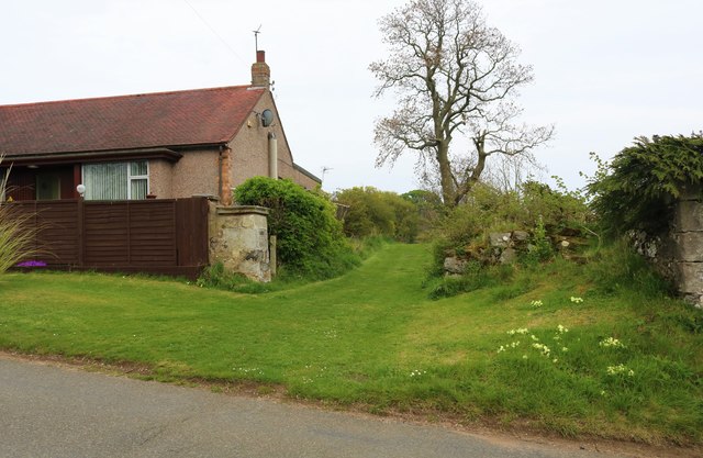
Image: © Bill Kasman Taken: 30 Apr 2019
This is Fife Core Path 273. Its other end starts at North Feus opposite the cemetery Image and runs for approximately one mile to join Woodlands Road here, near Woodland Gardens caravan site. Information on Fife Core Paths can be found here https://www.fife.gov.uk/kb/docs/articles/community-life2/parks,-allotments,-core-paths/outdoor-access/core-paths See Upper Largo article https://www.geograph.org.uk/article/Upper-Largo
Images are licensed for reuse under creativecommons.org/licenses/by-sa/2.0
Image Location
Latitude
56.222461
Longitude
-2.940956