Lane towards School Street, Fleur-de-lis
Introduction
The photograph on this page of Lane towards School Street, Fleur-de-lis by Jaggery as part of the Geograph project.
The Geograph project started in 2005 with the aim of publishing, organising and preserving representative images for every square kilometre of Great Britain, Ireland and the Isle of Man.

There are currently over 7.5m images from over 14,400 individuals and you can help contribute to the project by visiting https://www.geograph.org.uk
Lane towards School Street, Fleur-de-lis
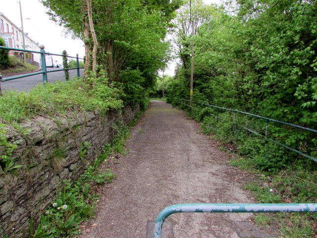
Image: © Jaggery Taken: 16 May 2018
Railings https://www.geograph.org.uk/photo/3444418 near the camera prevent motor vehicles accessing this route from Gellihaf Road to School Street.
Images are licensed for reuse under creativecommons.org/licenses/by-sa/2.0
Image Location
Latitude
51.659409
Longitude
-3.21997