Beadon Brook
Introduction
The photograph on this page of Beadon Brook by Derek Harper as part of the Geograph project.
The Geograph project started in 2005 with the aim of publishing, organising and preserving representative images for every square kilometre of Great Britain, Ireland and the Isle of Man.

There are currently over 7.5m images from over 14,400 individuals and you can help contribute to the project by visiting https://www.geograph.org.uk
Beadon Brook
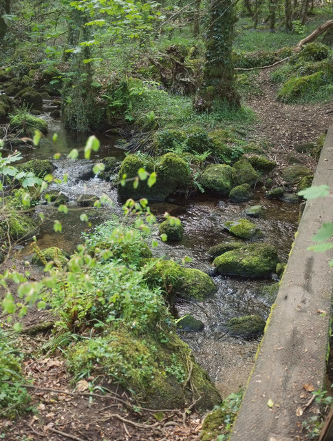
Image: © Derek Harper Taken: 25 Apr 2019
From the footbridge on Hennock footpath 3 shown in Image; the stream, which drains from the Kennick, Tottiford and Trenchford Reservoirs, is flowing to the right.
Images are licensed for reuse under creativecommons.org/licenses/by-sa/2.0
Image Location
Latitude
50.624743
Longitude
-3.669154