Path through Greatrock Copse #10
Introduction
The photograph on this page of Path through Greatrock Copse #10 by Derek Harper as part of the Geograph project.
The Geograph project started in 2005 with the aim of publishing, organising and preserving representative images for every square kilometre of Great Britain, Ireland and the Isle of Man.

There are currently over 7.5m images from over 14,400 individuals and you can help contribute to the project by visiting https://www.geograph.org.uk
Path through Greatrock Copse #10
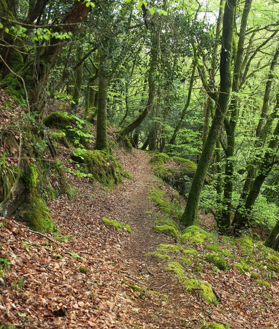
Image: © Derek Harper Taken: 25 Apr 2019
Hennock footpath 3 runs below Great Rock, up above to the left Image, as it approaches the last stretch down to meet the Beadon Brook at the bottom of its steep wooded valley.
Images are licensed for reuse under creativecommons.org/licenses/by-sa/2.0
Image Location
Latitude
50.624677
Longitude
-3.667455