Geographing at Knob Farm
Introduction
The photograph on this page of Geographing at Knob Farm by David Hignett as part of the Geograph project.
The Geograph project started in 2005 with the aim of publishing, organising and preserving representative images for every square kilometre of Great Britain, Ireland and the Isle of Man.

There are currently over 7.5m images from over 14,400 individuals and you can help contribute to the project by visiting https://www.geograph.org.uk
Geographing at Knob Farm
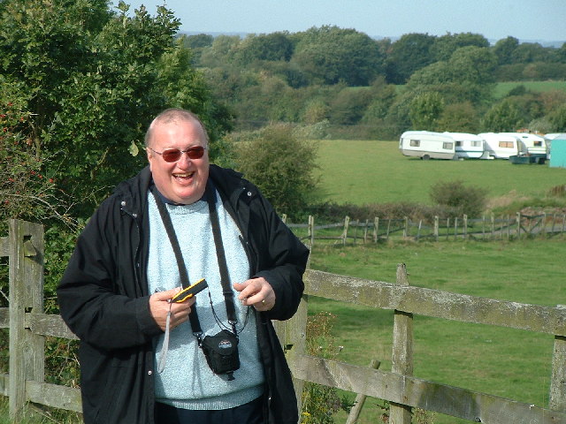
Image: © David Hignett Taken: 28 Sep 2005
What a lovely way to spend a day! BigEric armed with GPS and camera wondering how to make a respectable Geograph out of a few caravans and a place named Knob Farm
Images are licensed for reuse under creativecommons.org/licenses/by-sa/2.0
Image Location


Leaflet Map data © OpenStreetMap
Latitude
53.62145
Longitude
-2.689364