Dairy Cottage
Introduction
The photograph on this page of Dairy Cottage by Simon Carey as part of the Geograph project.
The Geograph project started in 2005 with the aim of publishing, organising and preserving representative images for every square kilometre of Great Britain, Ireland and the Isle of Man.

There are currently over 7.5m images from over 14,400 individuals and you can help contribute to the project by visiting https://www.geograph.org.uk
Dairy Cottage
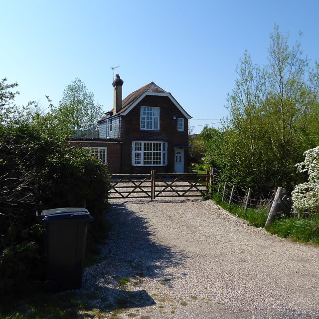
Image: © Simon Carey Taken: 21 Apr 2019
Marked but named on Rye's 1840 tithe map, called Dairy Farm on the 1872 OS map, Gateborough Cottage on the 1971 edition onwards.
Images are licensed for reuse under creativecommons.org/licenses/by-sa/2.0
Image Location
Latitude
50.946628
Longitude
0.725019