Track to Kettleshiel in the Lammermuirs
Introduction
The photograph on this page of Track to Kettleshiel in the Lammermuirs by ian shiell as part of the Geograph project.
The Geograph project started in 2005 with the aim of publishing, organising and preserving representative images for every square kilometre of Great Britain, Ireland and the Isle of Man.

There are currently over 7.5m images from over 14,400 individuals and you can help contribute to the project by visiting https://www.geograph.org.uk
Track to Kettleshiel in the Lammermuirs
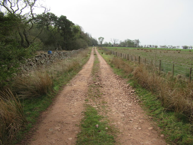
Image: © ian shiell Taken: 23 Apr 2019
The 1 in 50 map is a bit out of date.the track jinks east into the trees and meets the surfaced road at Kettleshiel Cottages.
Images are licensed for reuse under creativecommons.org/licenses/by-sa/2.0
Image Location
Latitude
55.760707
Longitude
-2.474046