Chesterton: on Kendal Way
Introduction
The photograph on this page of Chesterton: on Kendal Way by John Sutton as part of the Geograph project.
The Geograph project started in 2005 with the aim of publishing, organising and preserving representative images for every square kilometre of Great Britain, Ireland and the Isle of Man.

There are currently over 7.5m images from over 14,400 individuals and you can help contribute to the project by visiting https://www.geograph.org.uk
Chesterton: on Kendal Way
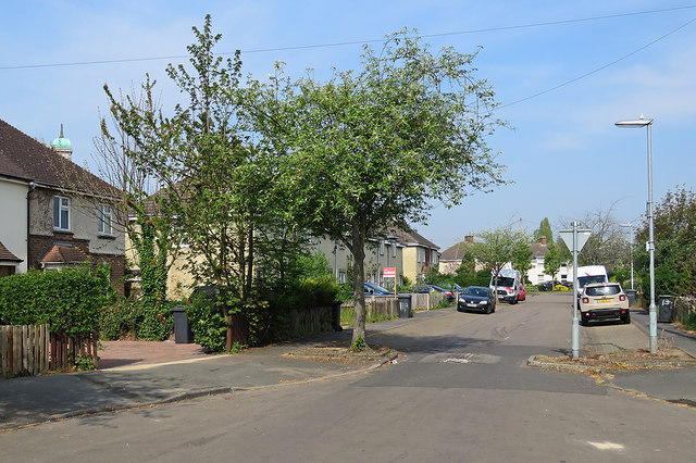
Image: © John Sutton Taken: 22 Apr 2019
Poster boards have appeared all over the city ahead of the local elections. The copper cupola on the top of the tower of St George's Church shows above the roof on the left.
Images are licensed for reuse under creativecommons.org/licenses/by-sa/2.0
Image Location
Latitude
52.224023
Longitude
0.144093