Path, Heavers Meadow
Introduction
The photograph on this page of Path, Heavers Meadow by Robin Webster as part of the Geograph project.
The Geograph project started in 2005 with the aim of publishing, organising and preserving representative images for every square kilometre of Great Britain, Ireland and the Isle of Man.

There are currently over 7.5m images from over 14,400 individuals and you can help contribute to the project by visiting https://www.geograph.org.uk
Path, Heavers Meadow
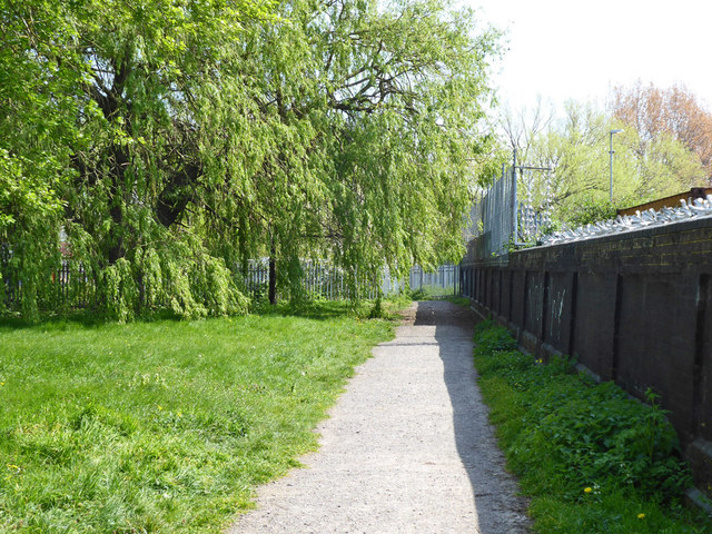
Image: © Robin Webster Taken: 19 Apr 2019
The 'meadow' is really a corridor along the Norbury Brook, and (mainly) associated wetland which seems to be a balancing pond. The brook is on the left here. The open space widens out further along round the bend where the brook is crossed.
Images are licensed for reuse under creativecommons.org/licenses/by-sa/2.0
Image Location
Latitude
51.392533
Longitude
-0.086909