Bottom of Market Street, Ruthin
Introduction
The photograph on this page of Bottom of Market Street, Ruthin by Nigel Brown as part of the Geograph project.
The Geograph project started in 2005 with the aim of publishing, organising and preserving representative images for every square kilometre of Great Britain, Ireland and the Isle of Man.

There are currently over 7.5m images from over 14,400 individuals and you can help contribute to the project by visiting https://www.geograph.org.uk
Bottom of Market Street, Ruthin
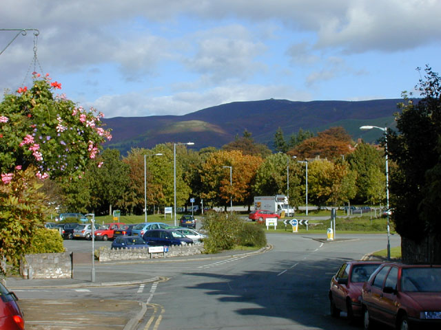
Image: © Nigel Brown Taken: 18 Oct 2004
Market Street ends in a roundabout with adjacent car park. Most of the area was once the station yard, with the station building situated where the trees are now. In the distance is the distinctive summit of Moel Famau.
Images are licensed for reuse under creativecommons.org/licenses/by-sa/2.0
Image Location
Latitude
53.115945
Longitude
-3.307877