Charfield Primary School
Introduction
The photograph on this page of Charfield Primary School by Neil Owen as part of the Geograph project.
The Geograph project started in 2005 with the aim of publishing, organising and preserving representative images for every square kilometre of Great Britain, Ireland and the Isle of Man.

There are currently over 7.5m images from over 14,400 individuals and you can help contribute to the project by visiting https://www.geograph.org.uk
Charfield Primary School
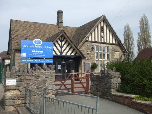
Image: © Neil Owen Taken: 18 Apr 2019
The village's school dates back to the late nineteenth century, older than the church of St John's opposite.
Images are licensed for reuse under creativecommons.org/licenses/by-sa/2.0
Image Location
Latitude
51.62782
Longitude
-2.40648