Service track across Hunley Hall Golf Course
Introduction
The photograph on this page of Service track across Hunley Hall Golf Course by Oliver Dixon as part of the Geograph project.
The Geograph project started in 2005 with the aim of publishing, organising and preserving representative images for every square kilometre of Great Britain, Ireland and the Isle of Man.

There are currently over 7.5m images from over 14,400 individuals and you can help contribute to the project by visiting https://www.geograph.org.uk
Service track across Hunley Hall Golf Course
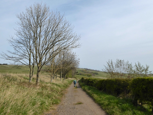
Image: © Oliver Dixon Taken: 19 Apr 2019
A service track with status public footpath crosses the Golf Course from Hunley Hotel to the clifftop
Images are licensed for reuse under creativecommons.org/licenses/by-sa/2.0
Image Location


Leaflet Map data © OpenStreetMap
Latitude
54.575164
Longitude
-0.930561