Waters Edge@Wyborne Park, Great Wakering
Introduction
The photograph on this page of Waters Edge@Wyborne Park, Great Wakering by David Kemp as part of the Geograph project.
The Geograph project started in 2005 with the aim of publishing, organising and preserving representative images for every square kilometre of Great Britain, Ireland and the Isle of Man.

There are currently over 7.5m images from over 14,400 individuals and you can help contribute to the project by visiting https://www.geograph.org.uk
Waters Edge@Wyborne Park, Great Wakering
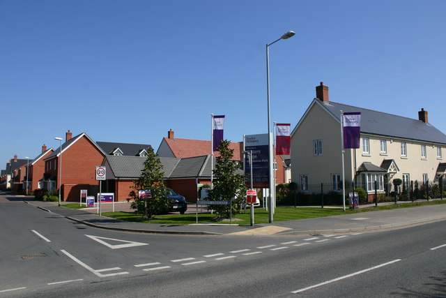
Image: © David Kemp Taken: 20 Apr 2019
The Waters Edge development was launched in 2014 with the first residents moving in about two years later. This is all in stark contrast to how the area was when it was the site of the former Star Lane brickworks. Hence the names - Sandy Crescent, Kiln Way and Brick Road - of the new roads. Geographs including Image and Image show how the area used to look. Taken on the corner of Star Lane and Sandy Crescent. "Waters Edge" refers not to the beaches of nearby Southend but to some flooded claypits at the end of Sandy Crescent.
Images are licensed for reuse under creativecommons.org/licenses/by-sa/2.0
Image Location
Latitude
51.550911
Longitude
0.787392