Dead Hedge in Meephill Coppice
Introduction
The photograph on this page of Dead Hedge in Meephill Coppice by Graham Hale as part of the Geograph project.
The Geograph project started in 2005 with the aim of publishing, organising and preserving representative images for every square kilometre of Great Britain, Ireland and the Isle of Man.

There are currently over 7.5m images from over 14,400 individuals and you can help contribute to the project by visiting https://www.geograph.org.uk
Dead Hedge in Meephill Coppice
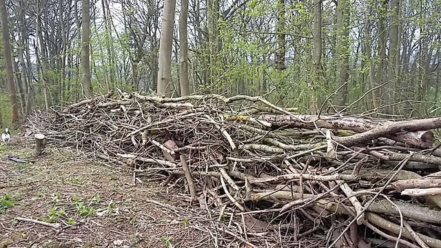
Image: © Graham Hale Taken: 13 Apr 2019
A dead hedge is a way to build a barrier or boundary by heaping up under story trimmings. It can also be done for ecological reasons as it provides diverse habitat.
Images are licensed for reuse under creativecommons.org/licenses/by-sa/2.0
Image Location
Latitude
52.091649
Longitude
-2.503369