The Church in Cottingley
Introduction
The photograph on this page of The Church in Cottingley by Stephen Craven as part of the Geograph project.
The Geograph project started in 2005 with the aim of publishing, organising and preserving representative images for every square kilometre of Great Britain, Ireland and the Isle of Man.

There are currently over 7.5m images from over 14,400 individuals and you can help contribute to the project by visiting https://www.geograph.org.uk
The Church in Cottingley
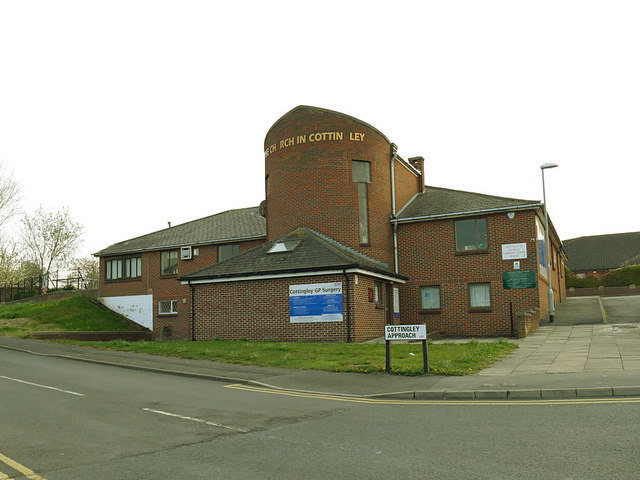
Image: © Stephen Craven Taken: 17 Apr 2019
Formally known as St Michael's, this is an ecumenical worship and community centre built in 1981 by the Methodist, URC and Church of England. In the Anglican structure it is a daughter church of the parish of Beeston.
Images are licensed for reuse under creativecommons.org/licenses/by-sa/2.0
Image Location
Latitude
53.768404
Longitude
-1.581239