Brook and quarry, Green Lane
Introduction
The photograph on this page of Brook and quarry, Green Lane by Penny Mayes as part of the Geograph project.
The Geograph project started in 2005 with the aim of publishing, organising and preserving representative images for every square kilometre of Great Britain, Ireland and the Isle of Man.

There are currently over 7.5m images from over 14,400 individuals and you can help contribute to the project by visiting https://www.geograph.org.uk
Brook and quarry, Green Lane
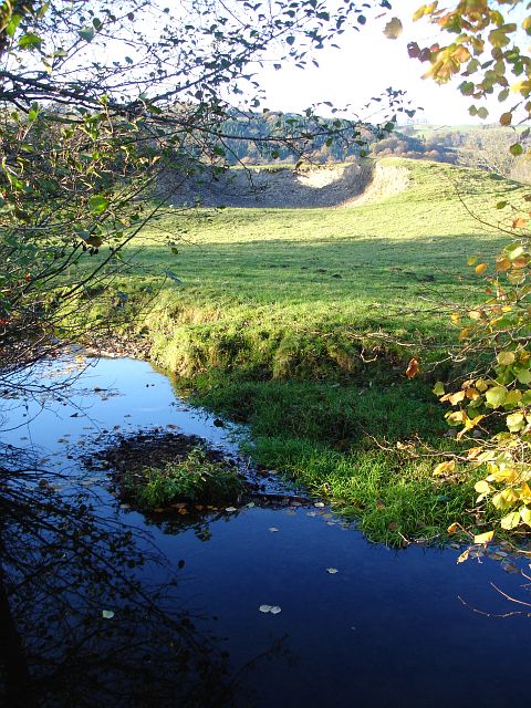
Image: © Penny Mayes Taken: 12 Nov 2007
This is the same brook seen here http://www.geograph.org.uk/photo/612383 . It flows into the Severn in the next square.
Images are licensed for reuse under creativecommons.org/licenses/by-sa/2.0
Image Location


Leaflet Map data © OpenStreetMap
Latitude
52.554015
Longitude
-3.220154