28-30, Sandgate Road
Introduction
The photograph on this page of 28-30, Sandgate Road by John Baker as part of the Geograph project.
The Geograph project started in 2005 with the aim of publishing, organising and preserving representative images for every square kilometre of Great Britain, Ireland and the Isle of Man.

There are currently over 7.5m images from over 14,400 individuals and you can help contribute to the project by visiting https://www.geograph.org.uk
28-30, Sandgate Road
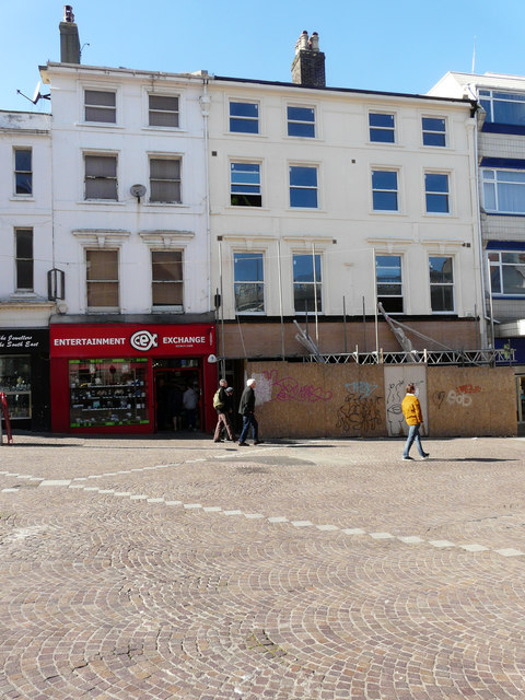
Image: © John Baker Taken: 10 Apr 2019
Planning permission has been approved, with conditions, by Folkestone and Hythe District Council under application number Y18/0180/SH for a “change of use and conversion of first floor from retail (A1 use) space to three residential units (2 x studio flats, 1 x 2 bed flat) use Class C3, together with the construction of a separated lobby area and bin store at ground floor level and staircase up to first floor level”. These premises used to be Image
Images are licensed for reuse under creativecommons.org/licenses/by-sa/2.0
Image Location
Latitude
51.079065
Longitude
1.179017