Hogshaw Road
Introduction
The photograph on this page of Hogshaw Road by Rob Farrow as part of the Geograph project.
The Geograph project started in 2005 with the aim of publishing, organising and preserving representative images for every square kilometre of Great Britain, Ireland and the Isle of Man.

There are currently over 7.5m images from over 14,400 individuals and you can help contribute to the project by visiting https://www.geograph.org.uk
Hogshaw Road
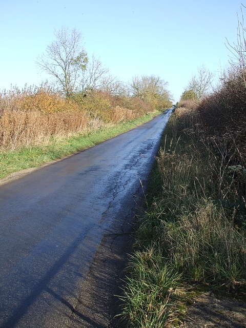
Image: © Rob Farrow Taken: 6 Nov 2007
The road from Botolph Claydon to Granborough does not directly link the two villages in a straight line, instead the lane initially heads slightly south as it goes westwards, then makes a dramatic 90º correction and heads northwest to Granborough in a dead straight line. This lane is so straight that I think it may well be an old Roman road, though the map does not say this. Extra weight is added to this hypothesis because this lane kinks 90º precisely where Image] - a definite Roman road - would have hit it, but is now just a bridleway (see 1:25000 map)
Images are licensed for reuse under creativecommons.org/licenses/by-sa/2.0
Image Location
Latitude
51.912877
Longitude
-0.897674