Rhiwderin Free Presbyterian Church
Introduction
The photograph on this page of Rhiwderin Free Presbyterian Church by Jaggery as part of the Geograph project.
The Geograph project started in 2005 with the aim of publishing, organising and preserving representative images for every square kilometre of Great Britain, Ireland and the Isle of Man.

There are currently over 7.5m images from over 14,400 individuals and you can help contribute to the project by visiting https://www.geograph.org.uk
Rhiwderin Free Presbyterian Church
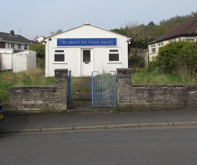
Image: © Jaggery Taken: 17 Apr 2019
On the west side of Pentre Tai Road. In April 2019 this is one of two places of worship in Rhiwderin. The other one is Tabernacle Congregational Chapel. https://www.geograph.org.uk/photo/6123027
Images are licensed for reuse under creativecommons.org/licenses/by-sa/2.0
Image Location
Latitude
51.581394
Longitude
-3.069079