Richmond Avenue, Shoeburyness
Introduction
The photograph on this page of Richmond Avenue, Shoeburyness by David Kemp as part of the Geograph project.
The Geograph project started in 2005 with the aim of publishing, organising and preserving representative images for every square kilometre of Great Britain, Ireland and the Isle of Man.

There are currently over 7.5m images from over 14,400 individuals and you can help contribute to the project by visiting https://www.geograph.org.uk
Richmond Avenue, Shoeburyness
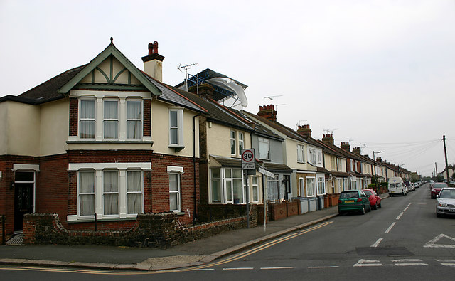
Image: © David Kemp Taken: 16 Apr 2019
Taken at the junction with Caulfield Road. Richmond Avenue marks the western extremity of the C19 parts of Shoeburyness which before 1933 had been administratively separate from neighbouring Southend.
Images are licensed for reuse under creativecommons.org/licenses/by-sa/2.0
Image Location
Latitude
51.532685
Longitude
0.778491