A48 at Lensbrook
Introduction
The photograph on this page of A48 at Lensbrook by Jonathan Billinger as part of the Geograph project.
The Geograph project started in 2005 with the aim of publishing, organising and preserving representative images for every square kilometre of Great Britain, Ireland and the Isle of Man.

There are currently over 7.5m images from over 14,400 individuals and you can help contribute to the project by visiting https://www.geograph.org.uk
A48 at Lensbrook
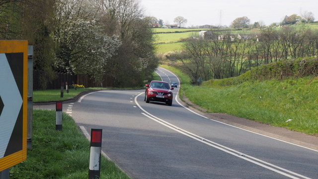
Image: © Jonathan Billinger Taken: 12 Apr 2019
The road has a distinct camber at the bend by the Lensbrook Lane junction.
Images are licensed for reuse under creativecommons.org/licenses/by-sa/2.0
Image Location
Latitude
51.7497
Longitude
-2.487969