Pond next to roundabout, Cwmbran Drive
Introduction
The photograph on this page of Pond next to roundabout, Cwmbran Drive by M J Roscoe as part of the Geograph project.
The Geograph project started in 2005 with the aim of publishing, organising and preserving representative images for every square kilometre of Great Britain, Ireland and the Isle of Man.

There are currently over 7.5m images from over 14,400 individuals and you can help contribute to the project by visiting https://www.geograph.org.uk
Pond next to roundabout, Cwmbran Drive
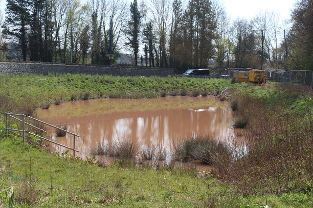
Image: © M J Roscoe Taken: 12 Apr 2019
The pond is next to a new housing development and its colour indicates it may be a settlement pond for soil washed off the site.
Images are licensed for reuse under creativecommons.org/licenses/by-sa/2.0
Image Location
Latitude
51.670109
Longitude
-3.02229