The Cairnlaw Burn
Introduction
The photograph on this page of The Cairnlaw Burn by valenta as part of the Geograph project.
The Geograph project started in 2005 with the aim of publishing, organising and preserving representative images for every square kilometre of Great Britain, Ireland and the Isle of Man.

There are currently over 7.5m images from over 14,400 individuals and you can help contribute to the project by visiting https://www.geograph.org.uk
The Cairnlaw Burn
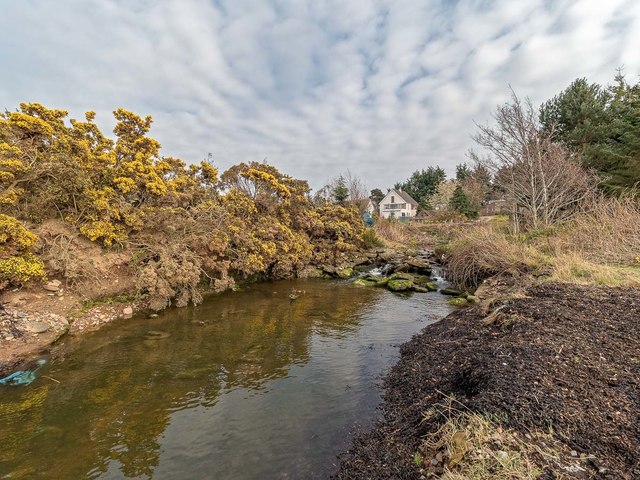
Image: © valenta Taken: 10 Apr 2019
The Cairnlaw Burn at Milton flows into the Moray Firth between two private houses at Milton
Images are licensed for reuse under creativecommons.org/licenses/by-sa/2.0
Image Location


Leaflet Map data © OpenStreetMap
Latitude
57.495999
Longitude
-4.157053