Downs View
Introduction
The photograph on this page of Downs View by HelenK as part of the Geograph project.
The Geograph project started in 2005 with the aim of publishing, organising and preserving representative images for every square kilometre of Great Britain, Ireland and the Isle of Man.

There are currently over 7.5m images from over 14,400 individuals and you can help contribute to the project by visiting https://www.geograph.org.uk
Downs View
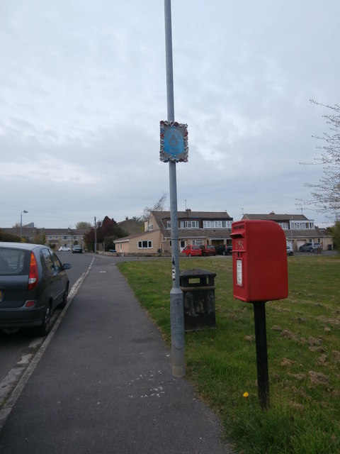
Image: © HelenK Taken: 15 Apr 2019
This estate is the westernmost housing in Bradford-on-Avon. Here the road opens out round a small green. In the foreground is a small collection of litter bin, post box and a Neighbourhood Watch sign, the last rather incongruously surrounded by crocheted flowers.
Images are licensed for reuse under creativecommons.org/licenses/by-sa/2.0
Image Location
Latitude
51.350215
Longitude
-2.261574