The end of Sharpenhoe Road
Introduction
The photograph on this page of The end of Sharpenhoe Road by David Howard as part of the Geograph project.
The Geograph project started in 2005 with the aim of publishing, organising and preserving representative images for every square kilometre of Great Britain, Ireland and the Isle of Man.

There are currently over 7.5m images from over 14,400 individuals and you can help contribute to the project by visiting https://www.geograph.org.uk
The end of Sharpenhoe Road
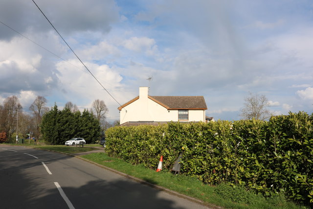
Image: © David Howard Taken: 3 Apr 2019
The ex-Linmore pub is on the right, here is the full view https://www.geograph.org.uk/photo/5309422
Images are licensed for reuse under creativecommons.org/licenses/by-sa/2.0
Image Location
Latitude
51.963438
Longitude
-0.452792