Swinburne House, Bethnal Green Estate
Introduction
The photograph on this page of Swinburne House, Bethnal Green Estate by Robin Webster as part of the Geograph project.
The Geograph project started in 2005 with the aim of publishing, organising and preserving representative images for every square kilometre of Great Britain, Ireland and the Isle of Man.

There are currently over 7.5m images from over 14,400 individuals and you can help contribute to the project by visiting https://www.geograph.org.uk
Swinburne House, Bethnal Green Estate
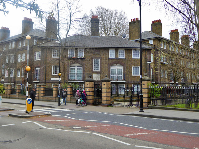
Image: © Robin Webster Taken: 6 Apr 2019
A council estate of blocks of flats, this corner building is included in the block to the right for address purposes.
Images are licensed for reuse under creativecommons.org/licenses/by-sa/2.0
Image Location
Latitude
51.527241
Longitude
-0.05402