The Old A76
Introduction
The photograph on this page of The Old A76 by Mary and Angus Hogg as part of the Geograph project.
The Geograph project started in 2005 with the aim of publishing, organising and preserving representative images for every square kilometre of Great Britain, Ireland and the Isle of Man.

There are currently over 7.5m images from over 14,400 individuals and you can help contribute to the project by visiting https://www.geograph.org.uk
The Old A76
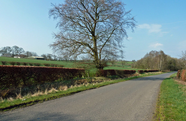
Image: © Mary and Angus Hogg Taken: 8 Apr 2019
Traffic now follows the new route between Auchinleck and Mauchline, avoiding the old narrow stone bridge across the River Ayr.
Images are licensed for reuse under creativecommons.org/licenses/by-sa/2.0
Image Location
Latitude
55.495828
Longitude
-4.345917