Rhondda Fawr
Introduction
The photograph on this page of Rhondda Fawr by Alan Hughes as part of the Geograph project.
The Geograph project started in 2005 with the aim of publishing, organising and preserving representative images for every square kilometre of Great Britain, Ireland and the Isle of Man.

There are currently over 7.5m images from over 14,400 individuals and you can help contribute to the project by visiting https://www.geograph.org.uk
Rhondda Fawr
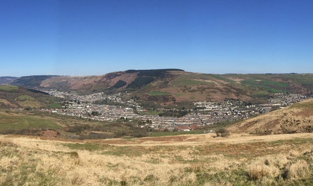
Image: © Alan Hughes Taken: 11 Apr 2019
Panoramic view of the Rhondda Fawr, encompassing, from left to right, Treorchy, Ton Pentre, Pentre, Gelli and Ystrad, viewed from the pass between Mynydd Bwllfa and Mynydd Gelli.
Images are licensed for reuse under creativecommons.org/licenses/by-sa/2.0
Image Location
Latitude
51.654847
Longitude
-3.49061