Biggleswade: Ivel Mill
Introduction
The photograph on this page of Biggleswade: Ivel Mill by Nigel Cox as part of the Geograph project.
The Geograph project started in 2005 with the aim of publishing, organising and preserving representative images for every square kilometre of Great Britain, Ireland and the Isle of Man.

There are currently over 7.5m images from over 14,400 individuals and you can help contribute to the project by visiting https://www.geograph.org.uk
Biggleswade: Ivel Mill
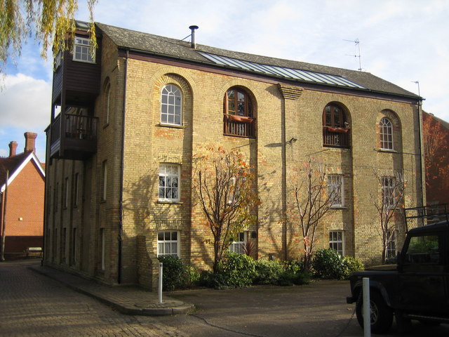
Image: © Nigel Cox Taken: 11 Nov 2007
There has been a watermill on this site on the River Ivel for over a thousand years, but after a fire in 1945 the building was used as warehouse, and then converted into flats in 1982.
Images are licensed for reuse under creativecommons.org/licenses/by-sa/2.0
Image Location
Latitude
52.084315
Longitude
-0.267638